Mining activities have indirect and direct environmental impacts, the extent and level of risk of which depend on factors such as the environment, the stage of operations, or the type of ore being extracted. Mining can have various consequences, such as air quality, impact on organisms, soil, water, biodiversity, and resource utilization (Geological Survey of Finland, 2015). A high-quality environmental monitoring system makes monitoring various parameters easy and processes a vast amount of data to provide essential and critical information.
What makes an automated environmental monitoring system particularly useful for mining experts?
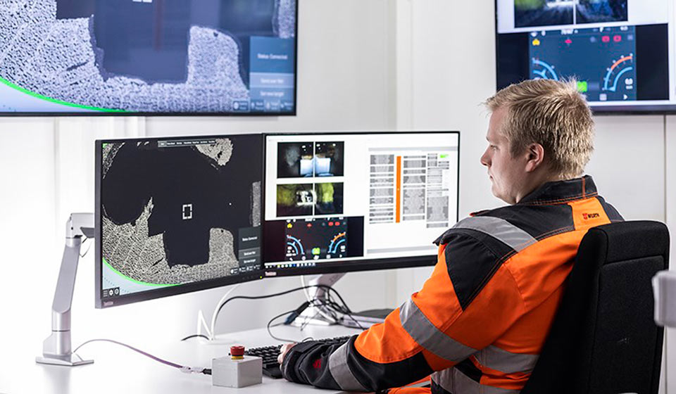
Well-designed and implemented automatic monitoring and data management promote environmental impact monitoring. With an environmental monitoring system, risks can be monitored throughout the entire process, from production to mine closure and aftercare. Solutions for environmental monitoring and data reporting help to collect, manage, and report timely data effectively while saving time and resources.
The product range of automatic monitoring includes pH, electrical conductivity, flow, water level, and temperature monitoring, weather stations, and real-time camera images. For data management, you can use services for automating the calculation of cumulative watercourse discharges, calculating flow-weighted averages, and importing sampling points, field observations, DWG, and aerial images onto the same map background.
Source: Geological Survey of Finland (2015). Good practices for environmental impact assessment of mining projects. Available at: http://tupa.gtk.fi/julkaisu/tutkimusraportti/tr_222.pdf